Himalayan Glaciers Are Melting at Furious Rate, New Study
International
- 20-12-2021, 20:10
INA – SOURCES
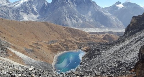
Himalayan glaciers are melting at an 'exceptional rate' and could threaten the supply of water for hundreds of millions of people in Asia, a new study warns.
Researchers have found that Himalayan glaciers have lost ice 10 times more quickly over the last few decades – predominantly since the year 2000 – than on average since the Little Ice Age hundreds of years ago.
The Little Ice Age was a period of major mountain-glacier expansion that spanned from around the early 14th century through to the mid-19th century, when rivers froze over and crops were decimated.
Himalayan glaciers are also now shrinking far more rapidly than glaciers in other parts of the world, which is raising sea levels, the study also found.
This accelerating melting has implications for hundreds of millions of residents who depend on Asia's major rivers for food and energy – including the Brahmaputra, Ganges and Indus.
The Himalayan mountain range – often referred to as ‘the Third Pole' – is home to the world’s third-largest amount of glacier ice after Antarctica and the Arctic.
Study author Dr Simon Cook, a senior lecturer in geography and environmental science at the University of Dundee, said people in the Himalayan region are 'already seeing changes that are beyond anything witnessed for centuries'.
'This research is just the latest confirmation that those changes are accelerating and that they will have a significant impact on entire nations and regions,' Dr Cook said.
For the study, the team made a reconstruction of the size and ice surfaces of 14,798 Himalayan glaciers during the Little Ice Age.
The Little Ice Age lasted from the 16th through to the 19th century, although some argue it began even earlier.
The team used satellite images and digital elevation models to produce outlines of the glaciers' extent 400-700 years ago and to 'reconstruct' the ice surface.
The satellite images revealed ridges that mark the former glacier boundaries, as they were during the 'Little Ice Age'.
Researchers then used the geometry of these ridges to estimate the former glacier extent and ice surface elevation.
Comparing the glacier reconstruction to the glacier now, determined the volume and hence mass loss between the Little Ice Age and now.
Related news

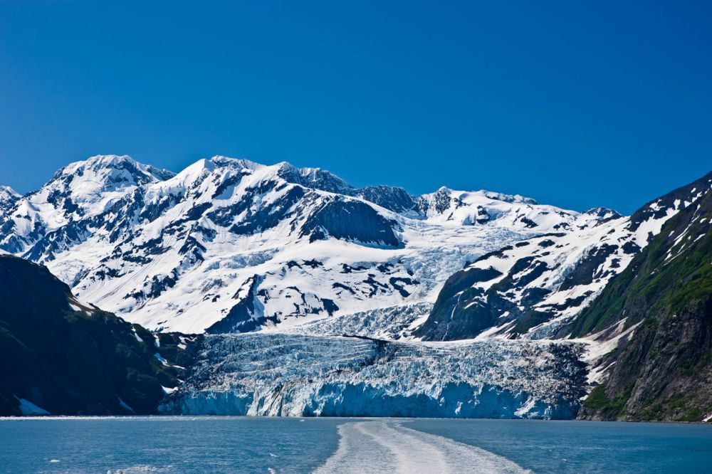
‘Mega-Tsunami’ that a melting Alaska glacier could soon unleash
- International
- 04:11


Al-Sudani launches construction of North Thermal Power Plant
- politics
- 12:03

PM Al-Sudani arrives in Nineveh
- politics
- 10:17

China Says It 'Firmly Opposes' US Military Aid To Taiwan
- International
- 07:36

US Central Command: We killed ISIS terrorist leader Abu Yusuf in Syria
- International
- 24/12/20

Liverpool compete with Real Madrid to sign Olympique Lyonnais star
- Security
- 24/12/19

ISC, ADX discuss Strengthening Economic Ties
- Economy
- 24/12/16

Iraq assumes presidency of Arab Investment Company’s Executive Board
- Economy
- 24/12/17