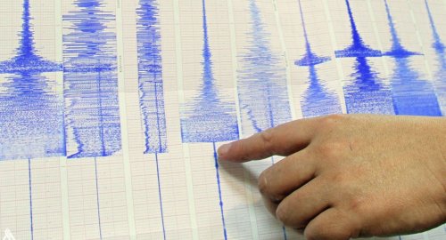
Strong 6.2-magnitude earthquake shakes western Indonesia, no tsunami alert

- 16-01-2023, 08:25
INA-source
A strong undersea earthquake shook western Indonesia on Monday (Jan 16) morning. But there were no immediate reports of serious damage or casualties.
The magnitude 6.2 earthquake was centred 48km south-east of Singkil, a coastal district in Aceh province at a depth of 37km, the United States Geological Survey (USGS) said.
It occurred at around 6.30am local time (10.30pm GMT on Sunday), and USGS revised it up from its initial measurement at 6.0 magnitude with a 48km depth.
Indonesia's Meteorology, Climatology and Geophysics Agency (BMKG) also put it at 6.2 and said that there was no threat of a tsunami, while the country's disaster agency said there were no immediate reports of casualties or major damage.
"The earthquake caused people to panic. It was felt between three to 10 seconds in four districts in Aceh and North Sumatra province," Abdul Muhari, a spokesman for the BNPB disaster mitigation agency, said in a statement.
Indonesia, a vast archipelago of more than 270 million people, is frequently hit by earthquakes and volcanic eruptions because of its location on the "Ring of Fire", an arc of volcanoes and fault lines in the Pacific Basin.
Source- channelnewsasia
Al-Sudani attends Iraqi Police founding celebration
- politics
- 10:47
Magnitude 5.0 earthquake strikes near Āwash, Āfar, Ethiopia
- International
- 09:06
- Sport
- 25/01/02

