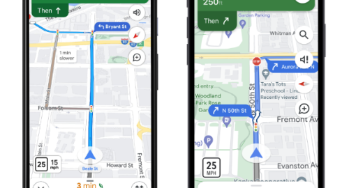
Google Maps brings traffic-light and stop-sign icons to navigation
Multimedia
- 9-04-2022, 22:02
INA - SOURCES
The latest featured addition from Google Maps announced to bring traffic-light and stop-sign icons to navigation mode.
Traffic lights have appeared in Google Maps in some areas since 2020. Not everyone had access to them, though, and they never seemed to show up while navigating. Now, lights and stop signs will appear on everyone's routes while navigating. That should give users a better feel for how their trip will go and when they should turn.
Google says many more normal map details will soon be visible in the navigation view, including building outlines and areas of interest.
While a ton of details pop up on the regular map, navigation mode previously stripped out most of them, and the spaces between roads have usually been blank. For cities with a high level of Google Maps details, you'll also start to see the specific shape and width of a road, including medians and islands.
Google says, "The new navigation map starts rolling out to select countries in the coming weeks on Android, iOS, Android Auto, and CarPlay." The features are apparently rolling out in stages, too. Right now, I'm seeing lights and stop signs but no building details.
Maps will also start showing estimated toll prices for your entire trip when you start navigating somewhere. Google says it is pulling in "trusted information from local tolling authorities" and will "look at factors like the cost of using a toll pass or other payment methods, what the day of the week it is, along with how much the toll is expected to cost at the specific time you’ll be crossing it." Toll-free routes are also still an option,"
Related news


- politics/International/Investigations and reports
- 04:15


NASA pays tribute to Gagarin in honor of Cosmonautics Day
- Multimedia
- 10:12


White House: Talks with Iran were very positive and constructive
- International
- 09:40


US Embassy: Trade Mission of 60 Companies Visits Iraq
- politics
- 25/04/07


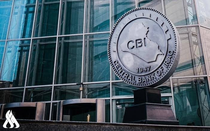
CBI unveils comprehensive reform plan to modernize banking sector
- Economy
- 25/04/07

Al-Sudani Meets Delegation from J.P. Morgan Bank
- politics
- 25/04/08